Can satellite cameras help save ecosystems?
Are the days of trekking through the jungle, climbing mountains, or camping out in the desert over?
Biologists are now using a special satellite camera to track ecosystems. Satellite cameras are now faster at monitoring ecosystems than ground-based research, especially in times of rapid climate change and major deforestation and farming.
Researchers are hoping that satellite camera work will result in standard ecosystem monitoring across the world. In this article, we will look at the different ways satellite cameras are being used to track and improve the ecosystems of the world!
Why Ecosystems Are Important
Everything living thing on Earth, including us, relies on a healthy ecosystem to survive and thrive. Ecosystems are the reason we have oxygen to breathe, clean water to drink, and fresh to eat.
Without well-functioning ecosystems, life would cease to exist on Earth. This is why preventing climate change is so important, because if our ecosystems become irreparably damaged, the human species could be wiped out.
The goal of ecosystem science is to study different ecosystems around the world, monitor them, and protect them, and satellite cameras are helping scientists achieve this goal.
Satellite Cameras Can Reveal the Health of a Forest
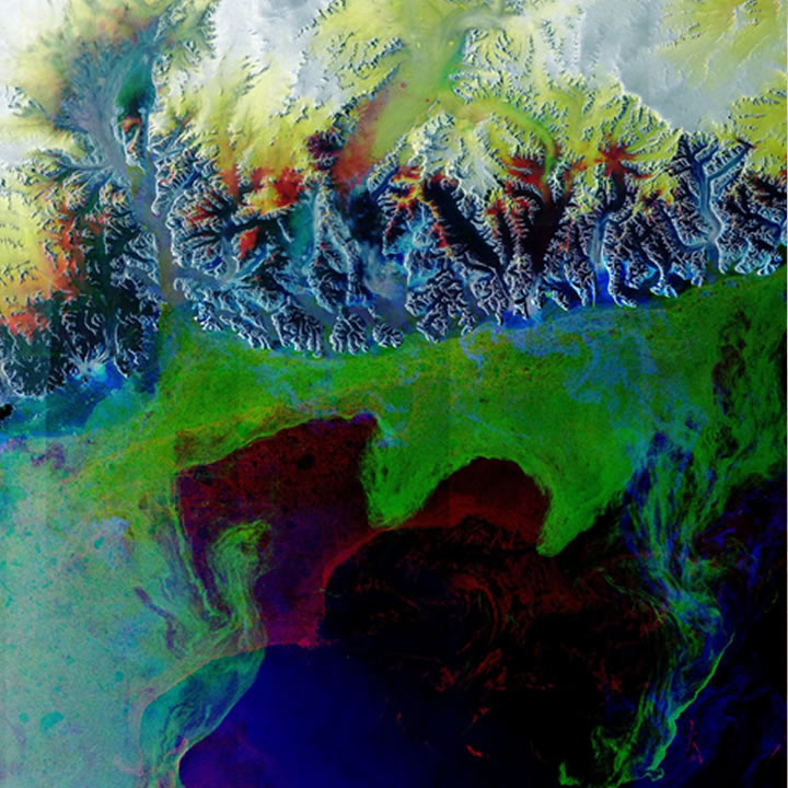
Satellite cameras can measure photosynthetic activity in forests by studying how much light they emit. Satellite cameras are now measuring all spectrums of the electromagnetic light spectrum, including near-infrared light.
This multispectral satellite camera system can depict how healthy a forest is based on the amount of “green” light. Scientists can also detect forests that are suffering by analyzing drops in a forest’s chlorophyll levels.
Healthy vs. unhealthy ecosystems satellite images data are compared, and then once researchers have identified a drop in chlorophyll, they can then do ground research and find out how ecosystems change.
There could be illegal logging, a drought, or an insect invasion.
Forests play a vital role in ensuring our planet is supplied with oxygen and clean drinking water, and also prevent erosion. A researcher can use a satellite camera for ecosystems to spot issues with a forest quickly before they spiral out of control.
They then can start working with on-the-ground teams to come up with strategies to protect the forest. This tandem strategy ensures our forests stay in healthy condition for generations to come!
Satellite Cameras Can Monitor Animal Populations
The Earth’s ecosystem satellite image is now being used to predict and monitor animal populations.
Yale researchers have created computer models based on the optimal conditions for particular species and then entered data from satellites related to the region’s temperature, weather, vegetation, and topography.
The model can then predict where particular animals are likely to be located and their population number.
This amazing satellite camera tool allows researchers to get an idea of animal populations without having to physically travel to the location and manually count the animals they come across.
With ecologists in decline, this tool ensures scientists still have access to accurate data on animal populations from around the world.
This Yale-built satellite camera research project automatically updates and relies on 600 million observations and is currently tracking almost 50,000 different animals. The tool is currently being used to track population declines and can even alert researchers to specific threats animals are facing, such as deforestation.
A satellite camera can even take images of animals from space! Scientists have used satellite images to calculate the number of penguins living in Antarctica and track the migrations of wildebeests and whales.
Satellite cameras are even being used to track tagged animals. Researchers are using tiny tags that weigh less than 4 grams which have been equipped on birds, mammals, and even insects.
These animals are being tracked from a massive antenna that sticks out from the International Space Station!
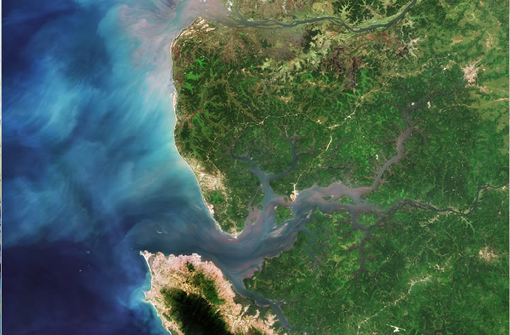
Satellite Cameras Can Monitor Massive Areas
In the past, scientists would rely on field studies to determine the health of the environment or a species.
Scientists would typically only be able to study a small area and then extrapolate their findings based on their tiny sample. However, thanks to satellite cameras, researchers can now span their studies across massive areas of territories and easily study entire forests!
In a recent study of the endangered Siberian white crane, field scientists could only study a small 3-square-kilometer area. They then had to draw conclusions by studying the Siberian white crane in a small part of their territory.
However, thanks to the power of satellite cameras, researchers could expand the study size to 16,000 square kilometers!
Wrapping Up
Without healthy and well-functioning ecosystems, the Earth will not support life. With our ecosystems coming under serious stress from climate change and human destruction, satellite cameras are playing a key role in identifying issues and monitoring their health.